PROJECT
Digital Paleogeography
Creation of Interactive maps and presentations by developing a web application for the Greek General Secretariat of Research and Technology
OVERVIEW
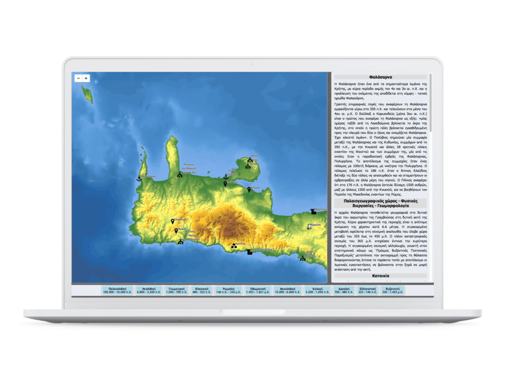
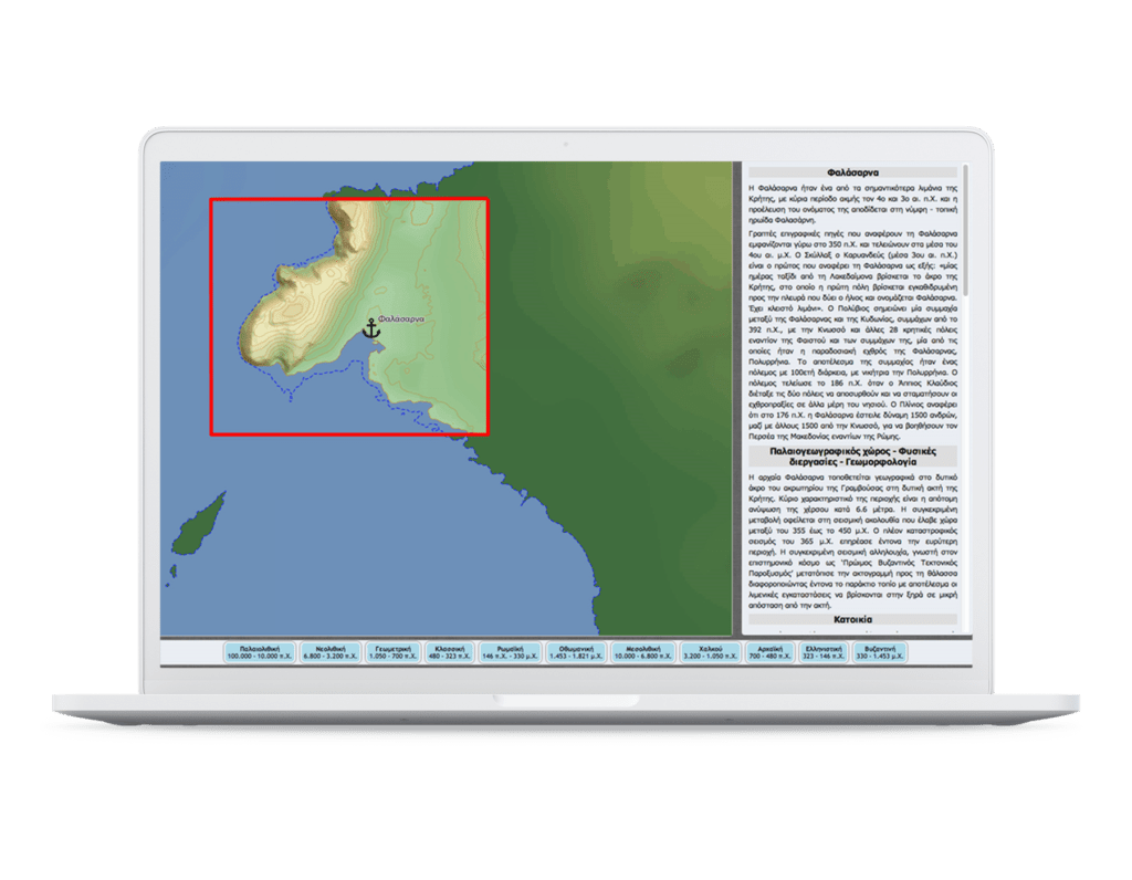
The project, implemented in the context of R&D funded projects by the Greek Secretariat of Research and Technology, regarded the cartographic depiction of archaeological sites of the broader Hellenic region, and its presentation through an interactive spatio-temporal web application. The geo-database that was created involves the most prominent archaeological sites of the broader Hellenic region for various time periods, reflecting environmental and geological conditions together with historical information.
AT A GLANCE


